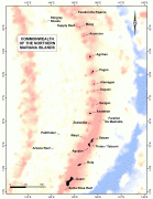
북마리아나 제도 (Commonwealth of the Northern Mariana Islands)
 |
 |
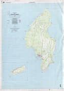
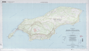
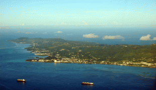
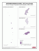
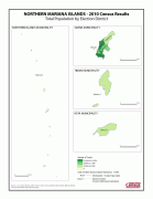
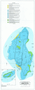
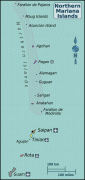
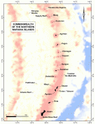
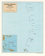
수도는 사이판이며, 미크로네시아에 속하고 16개의 화산섬으로 이루어져 있다. 사람이 사는 유인도는 사이판섬, 티니언섬, 로타섬 단 3개뿐이며, 대부분의 섬들은 사람이 살지 않는 무인도이다. 면적은 약 464 km2 정도이고 인구는 2021년 통계 5만 6,882명이다.
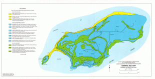
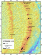
북마리아나 제도는 16개의 화산섬으로 이루어져 있고, 이 지역 근처의 해안선은 사이판과 마나가하섬을 포함하여 대부분 산호초로 되어 있다. 이 열도의 최고점은 아그리한섬의 965m이고, 마우그세섬은 침강하여 화구벽(火口壁)의 세 봉우리가 안에 석호(潟湖)를 에워싼 모양이 되었다. 전지역에서 사탕수수·코프라가 산출되며, 1960년대부터 티니언섬 등에서 젖소도 방목한다.