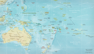
French Polynesia (French Polynesia)
 |
 |
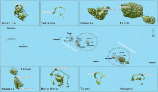
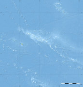
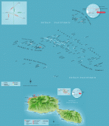
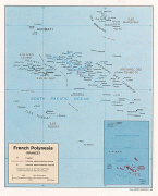
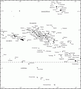
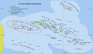
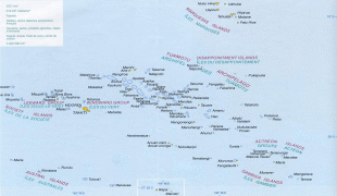
French Polynesia is divided into five groups of islands:
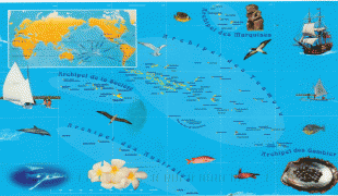
* 1) the Society Islands archipelago, comprising the Windward Islands and the Leeward Islands
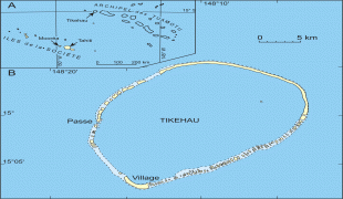
* 2) the Tuamotu Archipelago
* 3) the Gambier Islands
* 4) the Marquesas Islands
* 5) the Austral Islands.
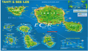
Among its 121 islands and atolls, 75 were inhabited at the 2017 census. Tahiti, which is in the Society Islands group, is the most populous island, being home to nearly 69% of the population of French Polynesia. Papeete, located on Tahiti, is the capital of French Polynesia. Although not an integral part of its territory, Clipperton Island was administered from French Polynesia until 2007.
Hundreds of years after the Great Polynesian Migration, European explorers began traveling through the region, visiting the islands of French Polynesia on several occasions. Traders and whaling ships also visited. In 1842, the French took over the islands and established a French protectorate that they called Établissements français d'Océanie (EFO) (French Establishments/Settlements of Oceania).
In 1946, the EFO became an overseas territory under the constitution of the French Fourth Republic, and Polynesians were granted the right to vote through citizenship. In 1957, the EFO were renamed French Polynesia. In 1983 French Polynesia became a member of the Pacific Community, a regional development organization. Since 28 March 2003, French Polynesia has been an overseas collectivity of the French Republic under the constitutional revision of article 74, and later gained, with law 2004-192 of 27 February 2004, an administrative autonomy, two symbolic manifestations of which are the title of the President of French Polynesia and its additional designation as an overseas country.