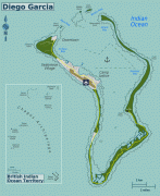
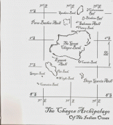
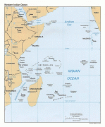
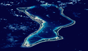
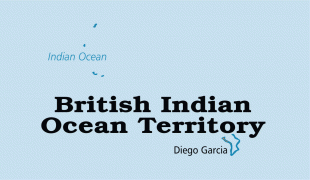
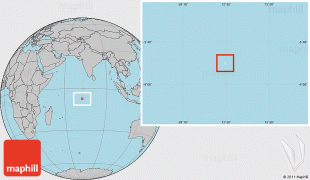
British Indian Ocean Territory (British Indian Ocean Territory)
 |
 |
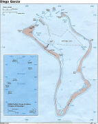
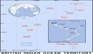
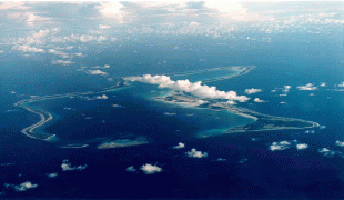
The only inhabitants are British and United States military personnel, and associated contractors, who collectively number around 3,000 (2018 figures). The forced removal of Chagossians from the Chagos Archipelago occurred between 1968 and 1973. The Chagossians, then numbering about 2,000 people, were expelled by the UK government to Mauritius and Seychelles in order to construct the military base. Today, the exiled Chagossians are still trying to return, saying that the forced expulsion and dispossession was unlawful, but the UK government has repeatedly denied them the right of return. The islands are off-limits to Chagossians, tourists, and the media.
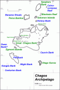
Since the 1980s, the Government of Mauritius has sought to regain control over the Chagos Archipelago, which was separated from the then Crown Colony of Mauritius by the UK in 1965 to form the British Indian Ocean Territory. A February 2019 advisory opinion of the International Court of Justice called for the islands to be given to Mauritius. Since this, the United Nations General Assembly and the International Tribunal for the Law of the Sea have reached similar decisions. On 3 November 2022, it was announced that the UK and Mauritius had decided to begin negotiations on sovereignty over the British Indian Ocean Territory, taking into account the international legal proceedings.
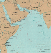
Maldivian mariners knew the Chagos Islands well. In Maldivian lore, they are known as Fōlhavahi or Hollhavai (the latter name in the closer Southern Maldives). According to Southern Maldivian oral tradition, traders and fishermen were occasionally lost at sea and got stranded on one of the islands of the Chagos. Eventually they were rescued and brought back home. However, these islands were judged to be too far away from the seat of the Maldivian crown to be settled permanently by them. Thus, for many centuries the Chagos were ignored by their northern neighbours.